How satellite images can map floods and rail subsidence faster
Image: Pexels
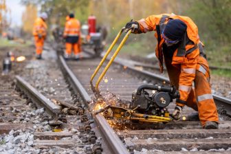
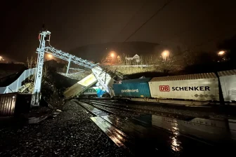
With satellite images you can map damage to the track much faster in the event of flooding, says Auke Blokland, Earth Observation Specialist at IT company CGI. Flooding, such as the recent ones in Belgium, Germany and the Netherlands, are expected to happen more often, and satellites could prove very useful.
Want to read more?
You have read all of your free premium articles for this month. Please become a subscriber to keep reading.
Subscribe now!
Take advantage of our exclusive offer to get full access to all premium content.