LiDAR supports higher-precision mapping of UK’s rail infrastructure
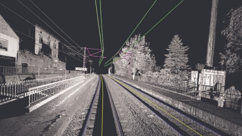
Leica 3D Rail Scan, source: Leica Geosystems (owned by Hexagon)
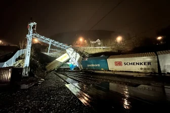
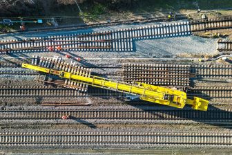
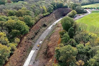
Network Rail is looking for a more accurate and efficient way to measure Britain’s network. Swedish engineering company Hexagon will support this intention with its solutions that use LiDAR data and artificial intelligence.
Want to read more?
You have read all of your free premium articles for this month. Please become a subscriber to keep reading.
Subscribe now!
Take advantage of our exclusive offer to get full access to all premium content.